- This event has passed.
GeoAI Camp PRG 2025
January 27, 2025 | 08:00 – January 28, 2025 | 17:00 UTC+1
Plan4all, the European Digital Innovation Hub (EDIH) at the Czech Technical University in Prague (CVUT), the Faculty of Information Technology at CVUT (FIT CVUT), in cooperation with RICAIP, invite you to participate in the following event GeoAI Camp PRG, 2025 on 27 – 28 January 2025.
Venue: Czech Institute of Informatics, Robotics and Cybernetics (CIIRC CTU) Prague (Jugoslávských partyzánů 1580/3, 160 00 Dejvice)
Participation is free; however, due to capacity reasons, registration is required.
This event is designed to bring together geospatial experts, AI practitioners, and interdisciplinary research teams to collaborate, share experiences, and develop innovative GeoAI solutions for European applications. The GeoAI Camp 2025 aims to foster collaboration and innovation in the field of Geospatial Artificial Intelligence by bringing together diverse research teams, experts, and practitioners from across Europe. The event will focus on exchanging experiences, sharing ideas, and initiating joint development of GeoAI solutions with broad applicability and European relevance.
On behalf of the organizing teams, we look forward to welcoming you to Prague and to a successful and inspiring event. We are excited to meet you in person and collaborate on shaping the future of innovation.
Program Overview
Monday, 27 January 2025
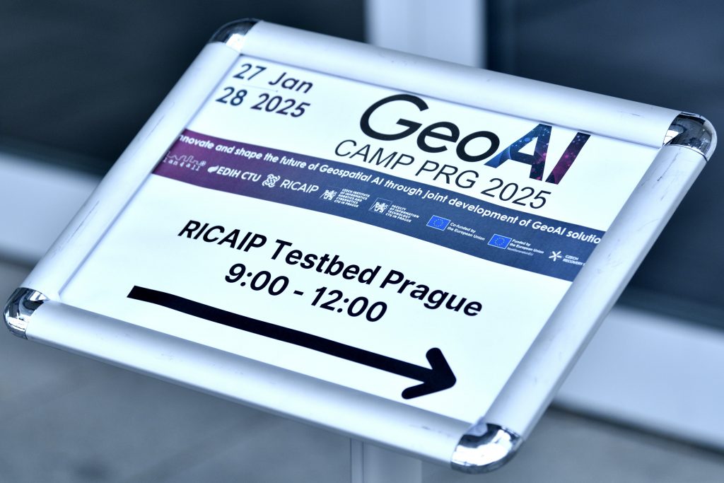
- 09:00–10:00: Registration and Coffee & Welcome Snacks at RICAIP Testbed Prague, Building B, Ground Floor, entry “B1” (main gateway)
- 10:00–10:15: Introduction: Goals of the event and organizational details by Karel Charvat (Plan4all) and David Pesek.
- 10:15–10:30: An introduction to the Adra ecosystem by Philip Piatkiewicz (ADRA).
- 10:30–10:45: A Brief History of AI and GeoAI by Karel Charvat (Plan4all).
- 10:45–11:00: Technologies for GeoAI by Pavel Kordik (FIT CVUT).
- 11:00–12:00: Pitches on Technological Solutions (5 minutes each):
- JackDaw by Karel Charvat and Runar Bergheim.
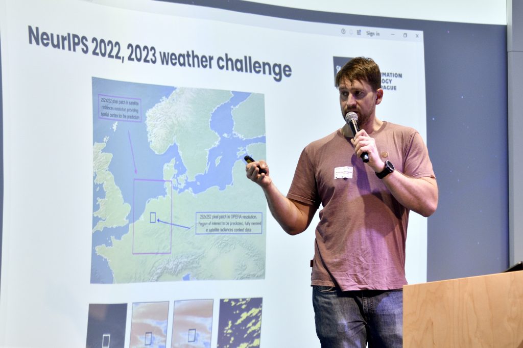
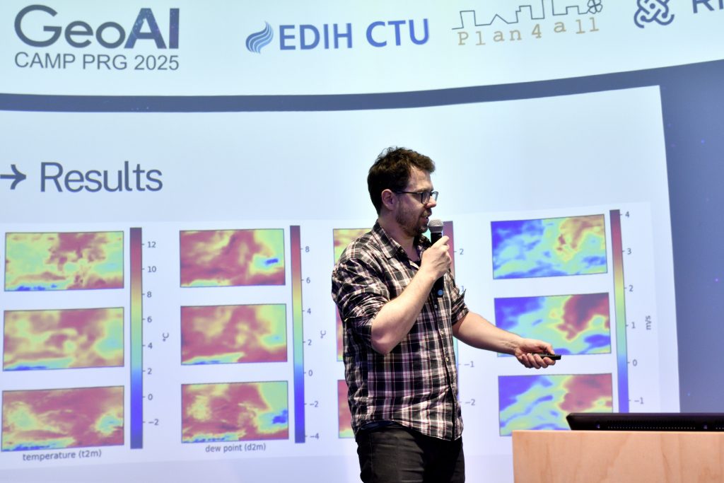
- ALIANCE Weather Forecasting by Petr Simanek.
- ALIANCE Sentinel-2 Cloud Removal by Petr Simanek.
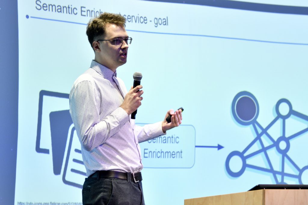
- AI-Based Semantic Enrichment by Aron Rynkiewitz.
- AI-Based Document Parsing by Raul Palma.
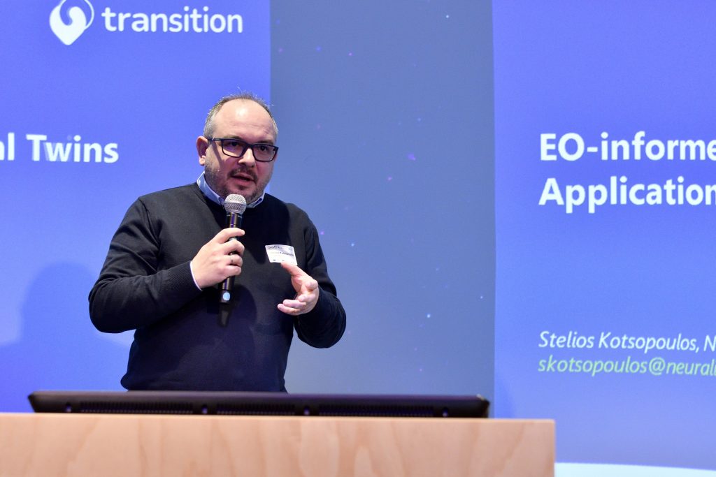
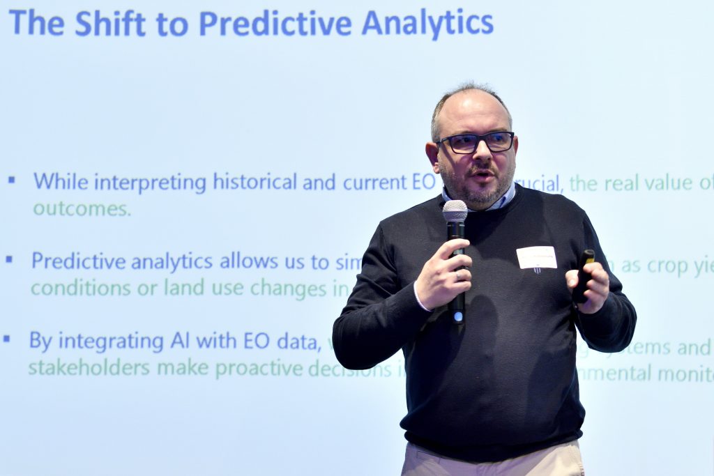
- TRANSITION Decision-Support Tool by Stelios Kotsopoulos.
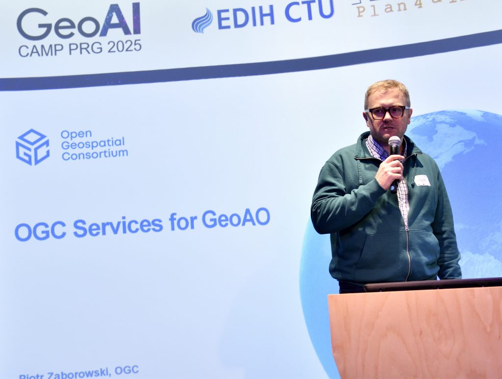
- OGC Legacy Services by Piotr Zaborovski.
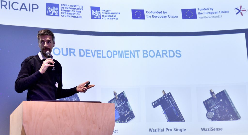
- Waziup IoT Edge Platform by Abdur Rahim.
Additional pitch slots are available. Please contact charvat@plan4all.eu to register your presentation.
This session will also be streamed to registered participants (the link to connect via Teams will be sent later this week).
- 12:00–13:00: Buffet Lunch and Informal Networking (room: A-101, Building A, Ground Floor)
- 13:00–18:00: Collaborative Work in Teams and Multilateral Discussions (room: A-303, Building A, 3rd Floor + room A-102, Building A, Ground Floor)
- 18:00: Group Dinner
Tuesday, 28 January 2025
- 09:00–09:30: Registration and Coffee, ATTENTION, entry “A1” !!! different from the 1st day registration (room: A-303, Building A, 3rd Floor)
- 09:30–14:00: Team-Based Collaborative Work and Discussions (coffee break included as needed)
- 14:00–16:00: Presentation of Results
- Each team will have 10 minutes to present their outcomes.
- This session will also be streamed to registered participants (the link to connect via Teams will be sent later this week).
- 16:00–16:30: Closing Session and Next Steps by Karel Charvat.
- 17:00 CLOSING Group Dinner
The Importance of Spatial Information
Spatial information is a fundamental element in numerous applications, ranging from environmental monitoring and disaster response to infrastructure management and urban planning. The integration of AI with spatial data (GeoAI) offers significant potential for enhancing the accuracy, efficiency, and applicability of geospatial solutions, contributing to advances in multiple domains, including predictive analytics, climate science, and automation.
Call for Participation
Individuals and teams are invited to contribute their ideas, projects, and expertise. The camp provides a platform for knowledge sharing, discussion, and collaboration. Participants are encouraged to present GeoAI-related initiatives, challenges, or innovative concepts that can benefit from collective development and refinement.
Format
The event will begin with a 45-minute keynote focused on GeoAI and how it integrates with Generic AI and Large Language Models (LLMs). This keynote will outline our vision for the future of GeoAI and its synergy with emerging AI technologies.
Following the keynote, there will be a series of five-minute pitch presentations where attendees can introduce potential solutions, ongoing projects, or areas of interest.
After the pitches, participants will have time dedicated to creating ad-hoc teams and coding and networking until 28th afternoon. The event will conclude with each team or individual presenting their results during a 10-minute final presentation.
The initial keynote, pitch presentations, and final presentations will be livestreamed online and subsequently published on YouTube for wider accessibility and dissemination.
Featured Topics and Technologies
Several ongoing projects and technologies will be highlighted during the camp, including:
- JackDaw: An AI-driven geospatial tool aimed at enhancing spatial data analysis and decision-making
- ALIANCE Project Solutions:
- Precise Weather Forecasting: Leveraging GeoAI for high-resolution, accurate weather prediction.
- Cloud Removal Technology: AI-based methods for improving satellite imagery by mitigating cloud cover interference.
- VITISPECTOR: PoC based on hyperlocal weather forecast leveraged by using trained ML/AI modules directly built in the meteostations, was supported through Test-Before-Invest activity of the EDIH CTU applied at a real winery.
In addition to these, other GeoAI solutions and projects are welcomed and encouraged.
Participation of LLM Experts
Experts specializing in Large Language Models (LLMs) are also invited to contribute, as their expertise can enhance GeoAI applications, particularly in data interpretation, automated analysis, and decision-support systems.
Key Opportunities
- Collaborate with interdisciplinary teams and experts.
- Engage in the development of new GeoAI solutions.
- Explore synergies with other European projects and initiatives.
- Network with leading researchers and practitioners in GeoAI and related fields.
GeoAI Camp 2025 presents a valuable opportunity to advance GeoAI research and development through collective intelligence and shared expertise. You might find interesting collaboration opportunities and participate in future GeoAI projects. We look forward to your participation and contributions.
Missed the event? Check out our keynote speeches and summary report
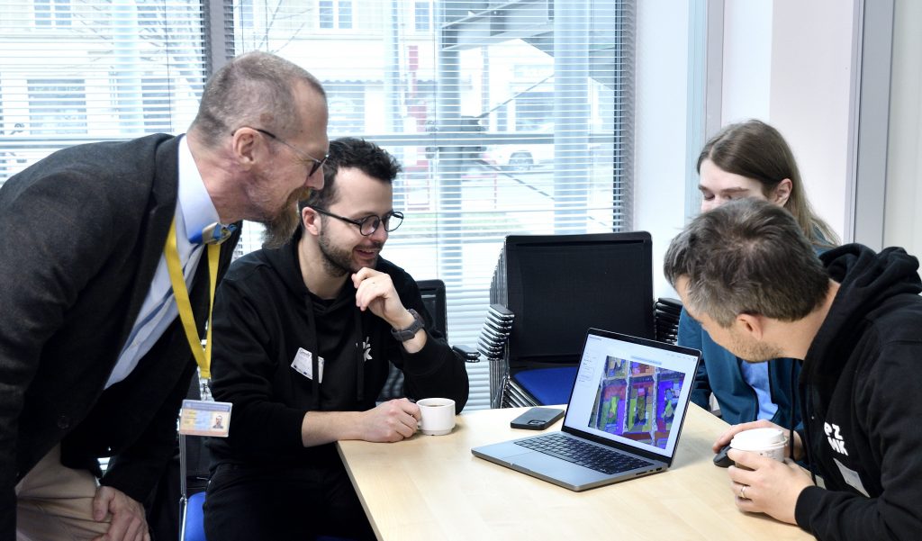
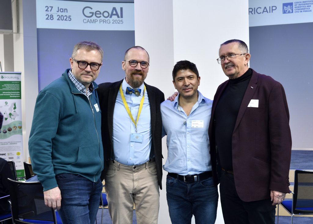
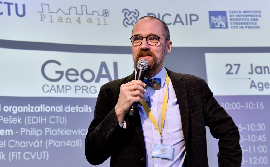
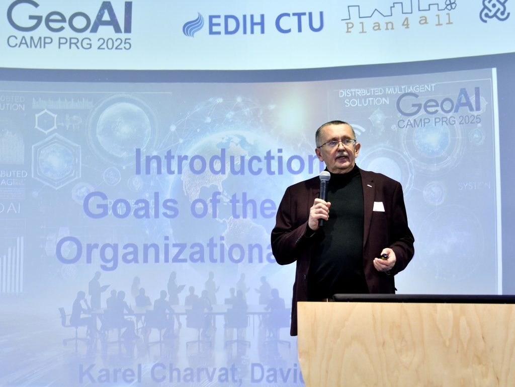
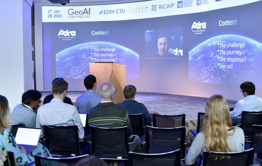
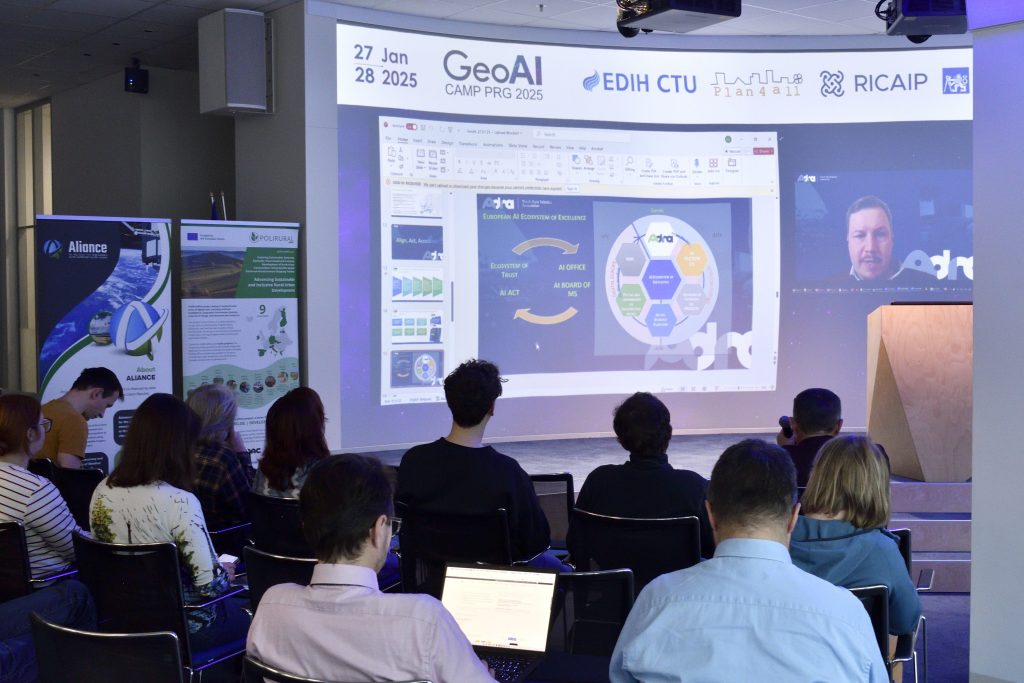
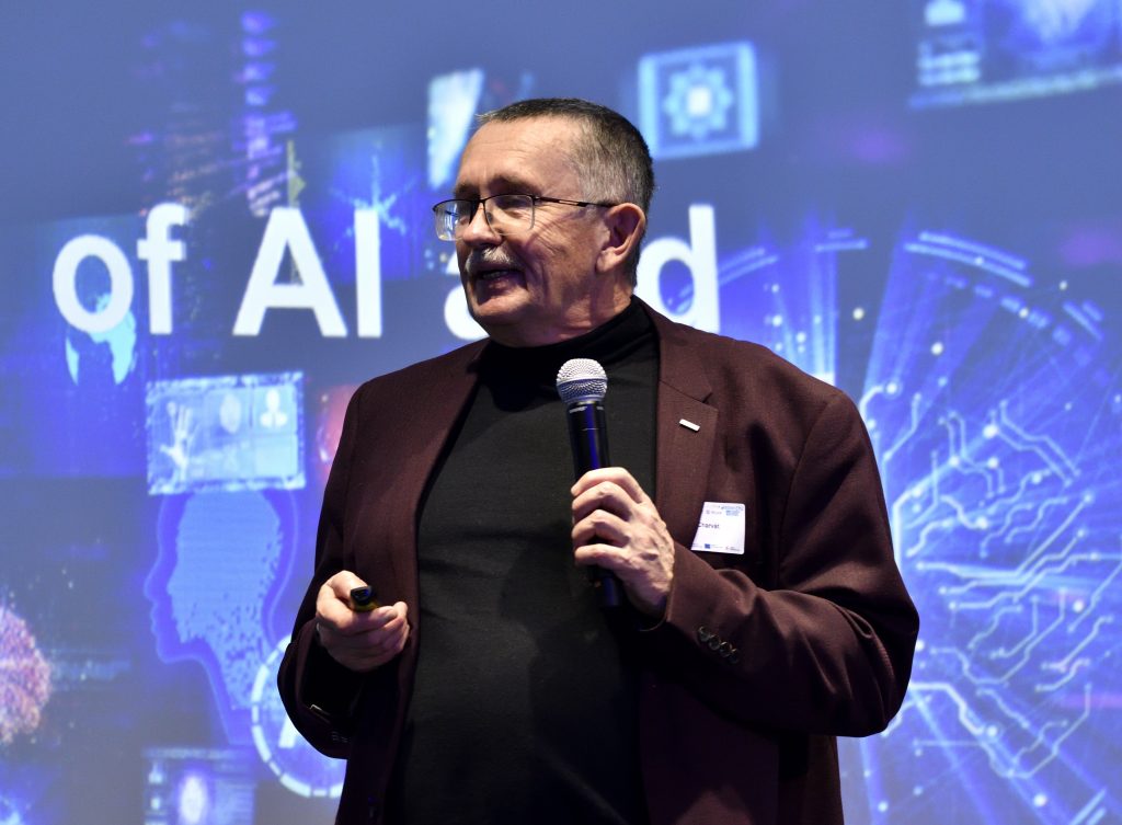
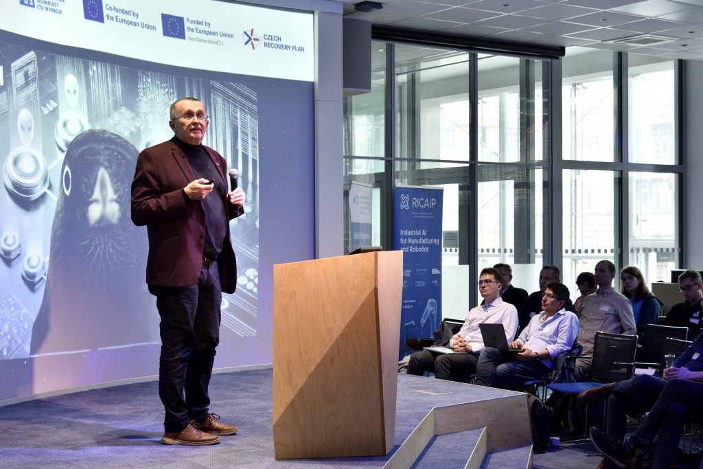
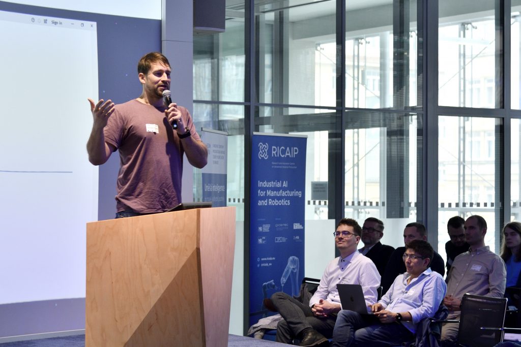
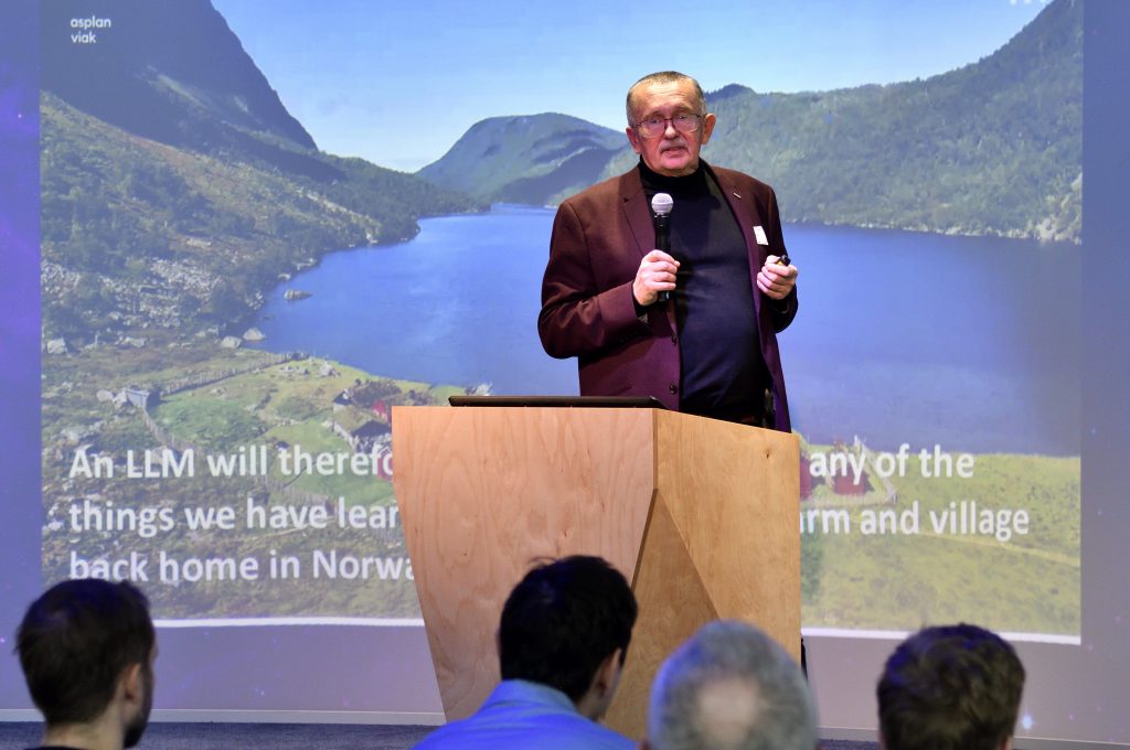
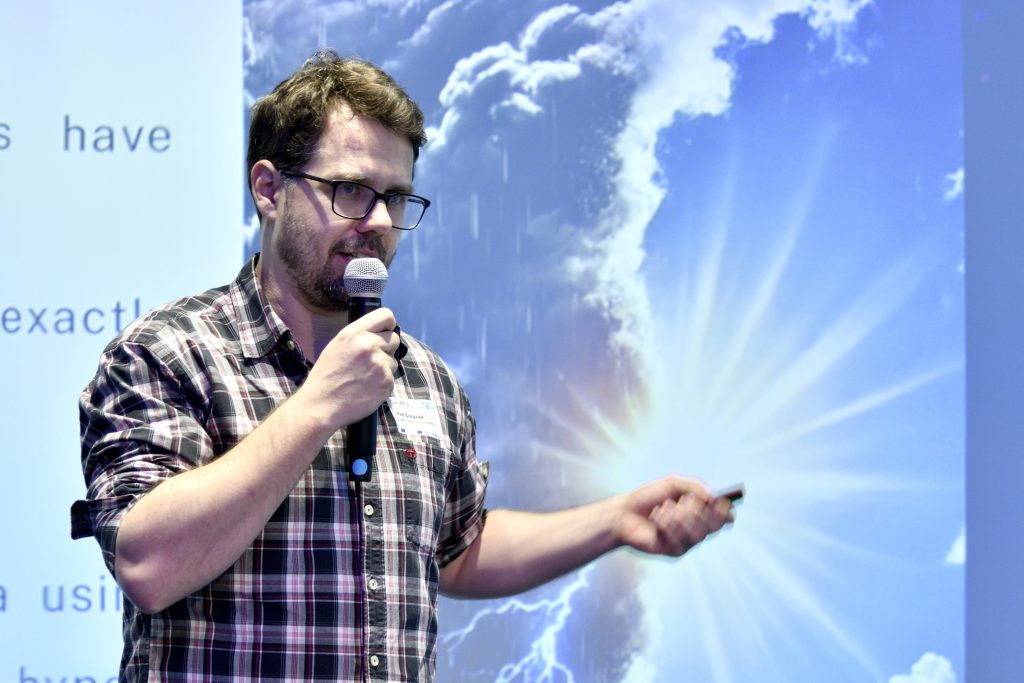
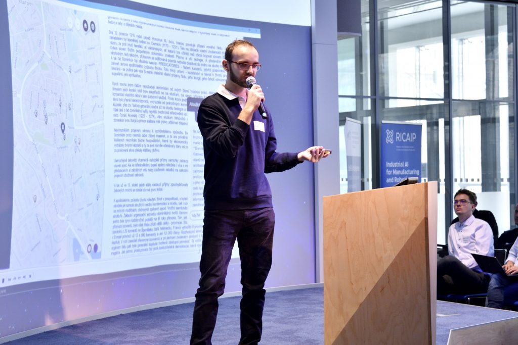
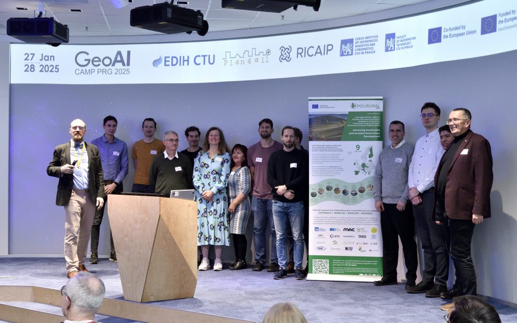
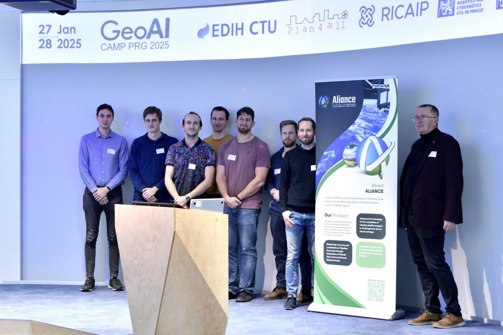
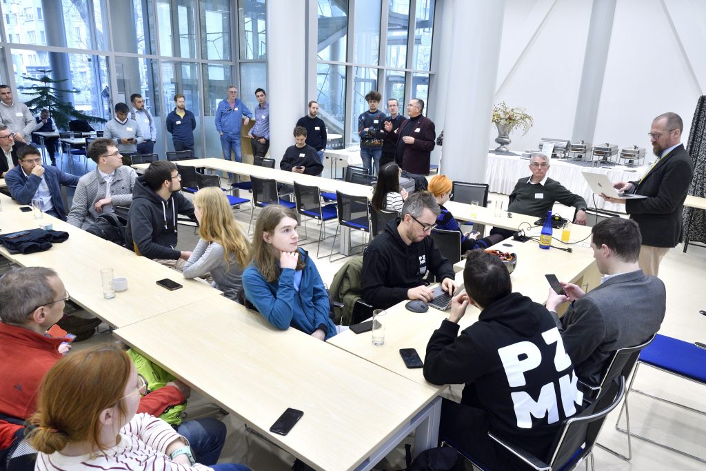
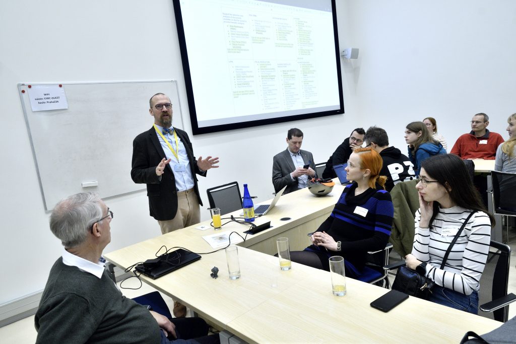
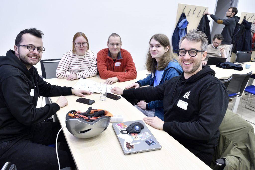
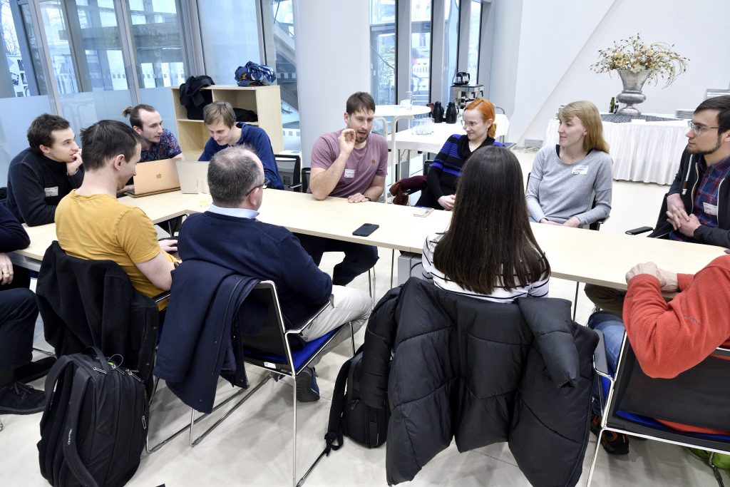
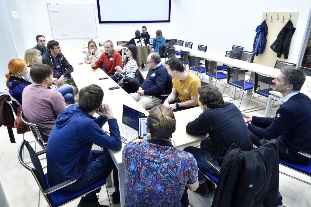
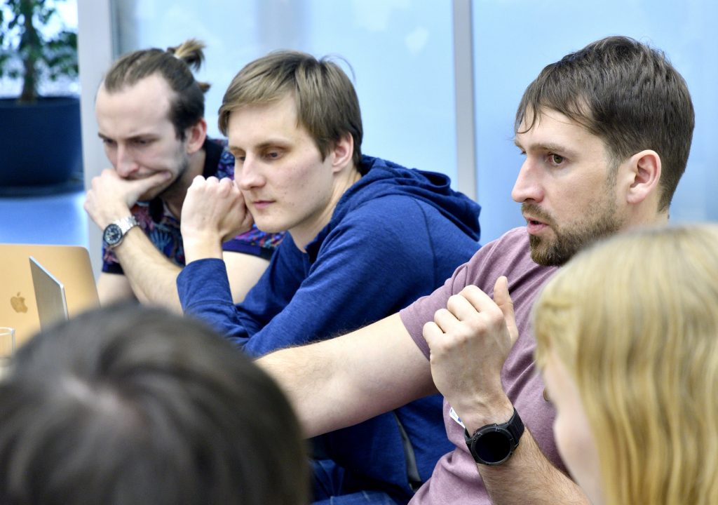
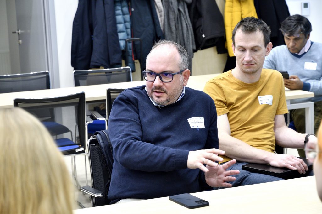
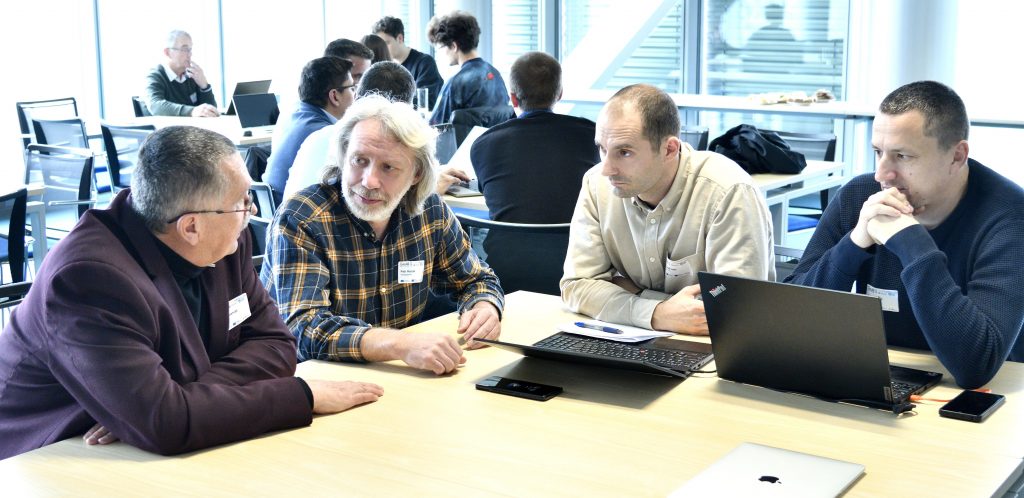
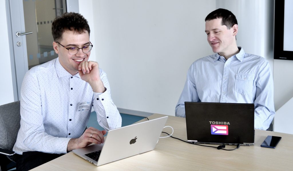
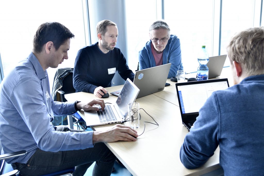
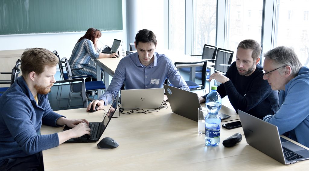
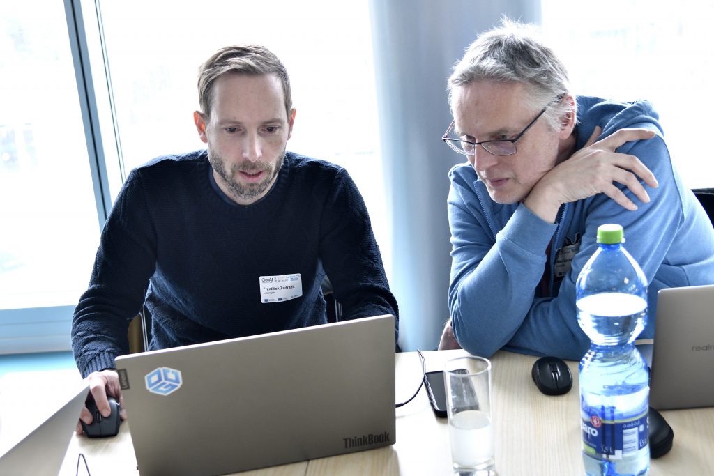
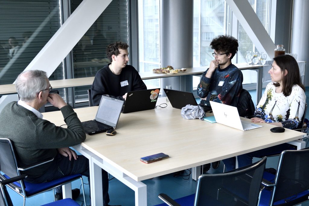
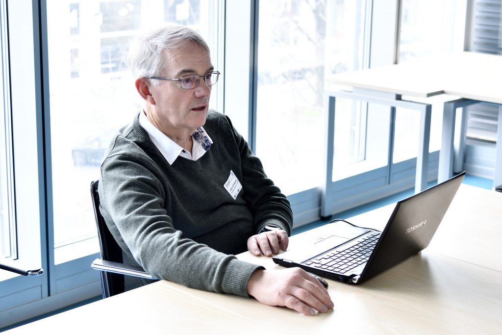
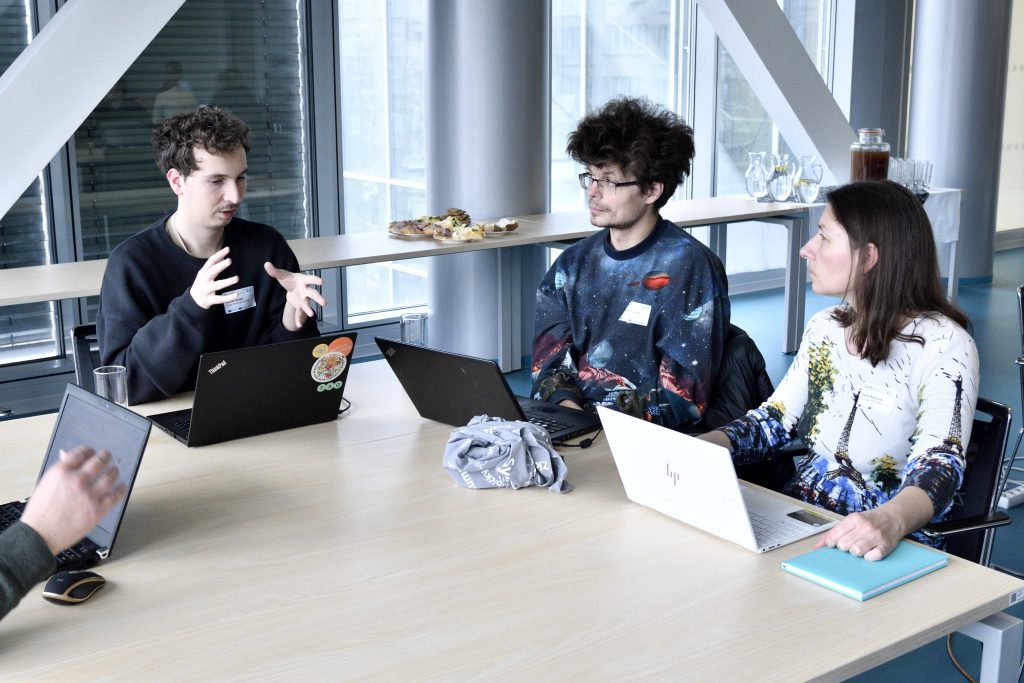
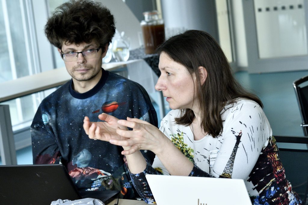
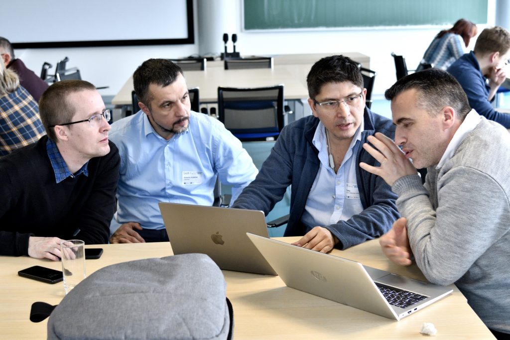
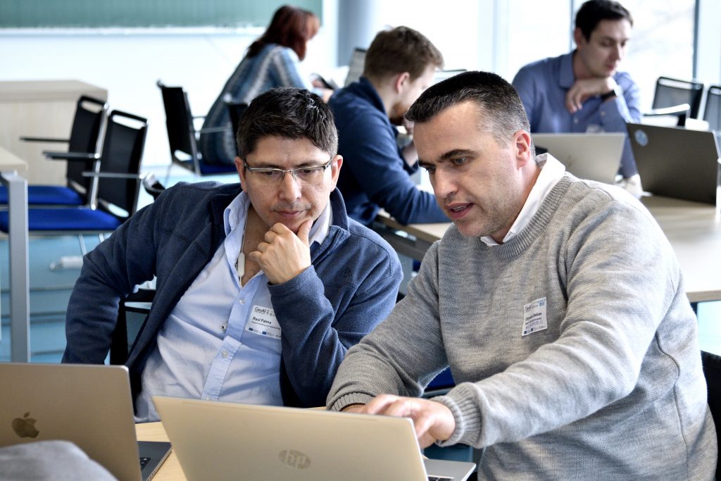
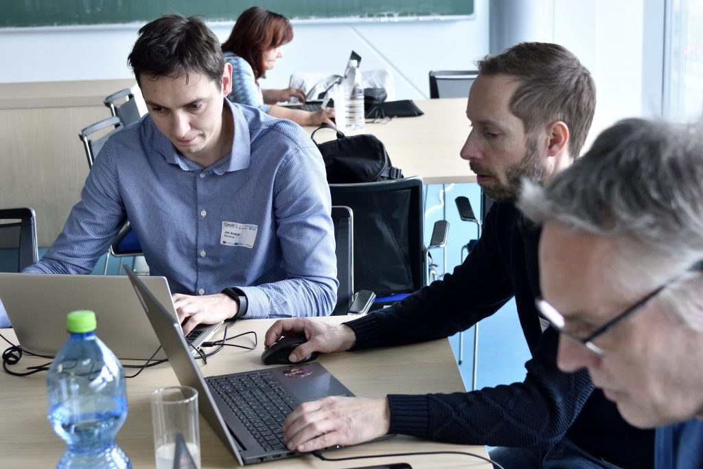
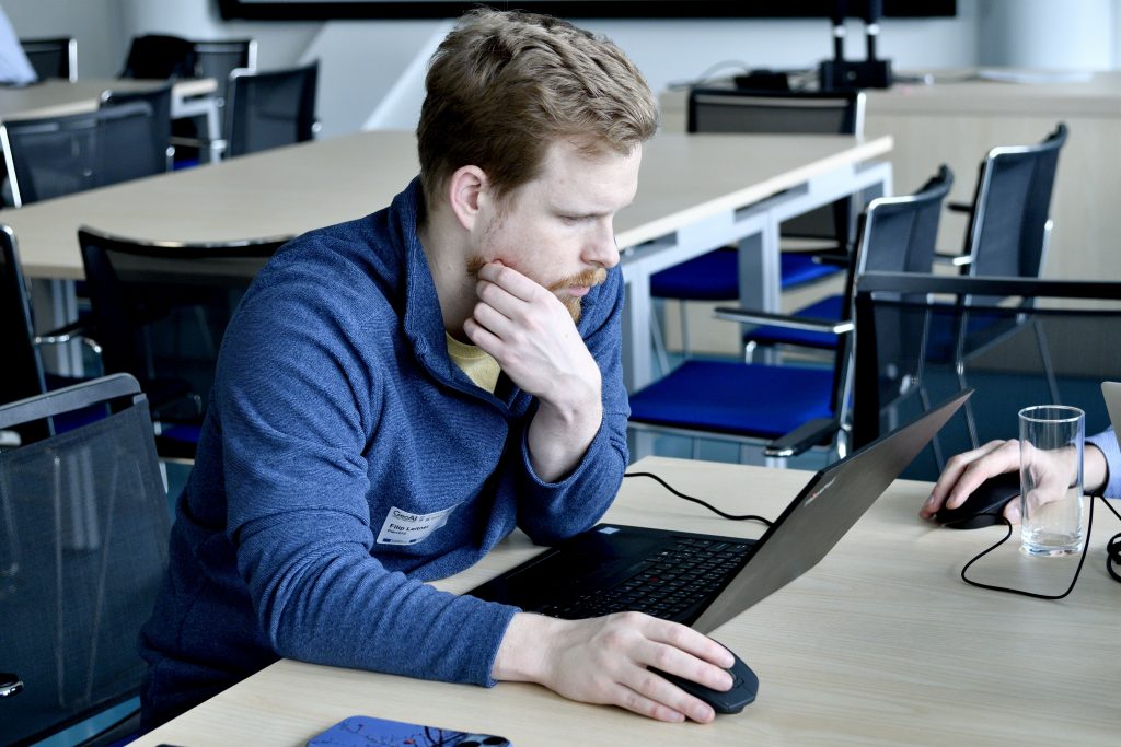
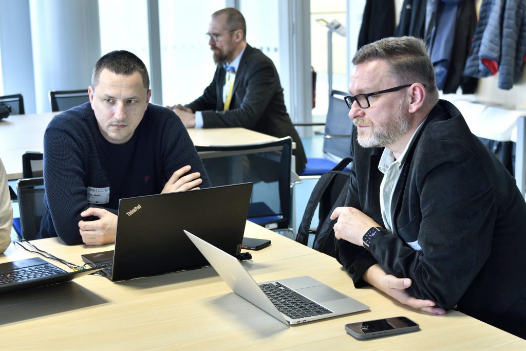
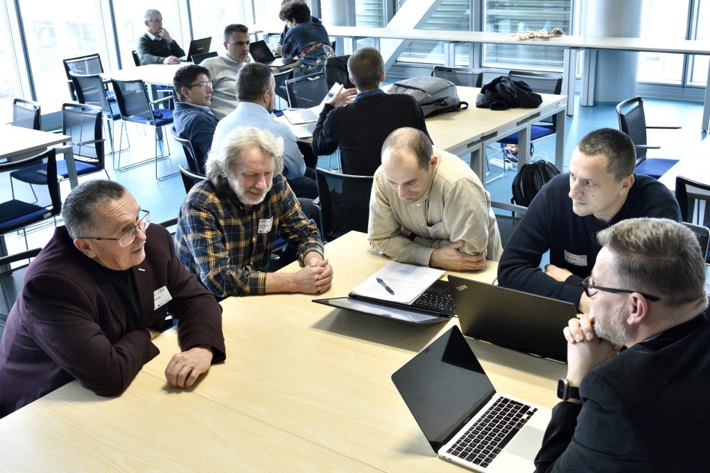
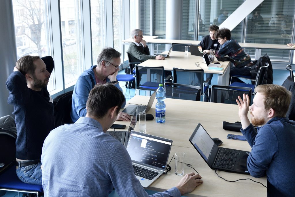
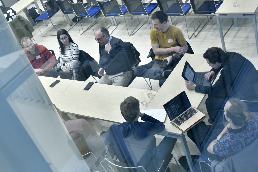
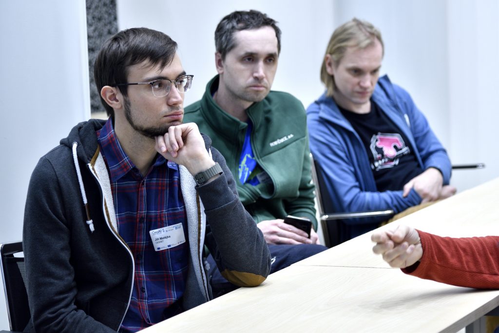
Photos from the event
